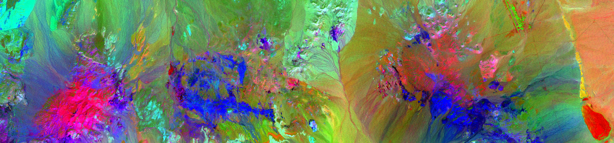

This is an RGB + shortwave IR image (Band 7) from Landsat 8 over the Diablo Valley, in the San Francisco East-bay area. Processed using Harris Geospatial’s ENVI 5.3
Tag: Multispectral
ENVI Image Classification


Unsupervised Classification

Supervised Classification
These are examples of image classification in ENVI. On the left is ENVI’s automated (“unsupervised”) classification and on the right is a manual (“supervised”) classification. ENVI’s automated classification is very good. It’s quick and easy to get good results – these results could be even better had I fine-tuned the settings a bit, but in this case I just ran the default settings (with the exception of iterations – the default is 1, I ran 6). The whole process took about 2 minutes. The image on the right is the result of manually selected classifications. This approach allows a lot more control and given time, a skilled analyst could generate very accurate classifications. These results are after about 10-15 minutes of selections and include a few areas that are better classified than in the automated process, for example the bright red spot at about 300° below and to the right of center is a burn-area that the automated process did not pick up.
432 (or Technicolor Hurl)

This is bands 4, 3 & 2 from a multi-spectral aerial image of a portion of the Nevada desert. Created in ENVI 5.3 – I think it’s pretty 🙂
ENVI SPEAR NDVI

This image shows plant vigor, with darkest green representing healthiest vegetation. Generated from Harris Geospatial’s ENVI 5.3, using their “SPEAR” (Spectral Processing Exploitation and Analysis Resource) tool from a Landsat 8 image of a portion of Contra Costa County, CA.